
Area guide
Exploring Byron Bay from your door
Aurelia sits at Jonson Lane, 139 Jonson St, in the middle of town. This is how the coast, the lanes, the Cape and the hinterland fit together — and roughly how long each takes on foot or by car.
The water
Beaches, from town sand to quiet corners
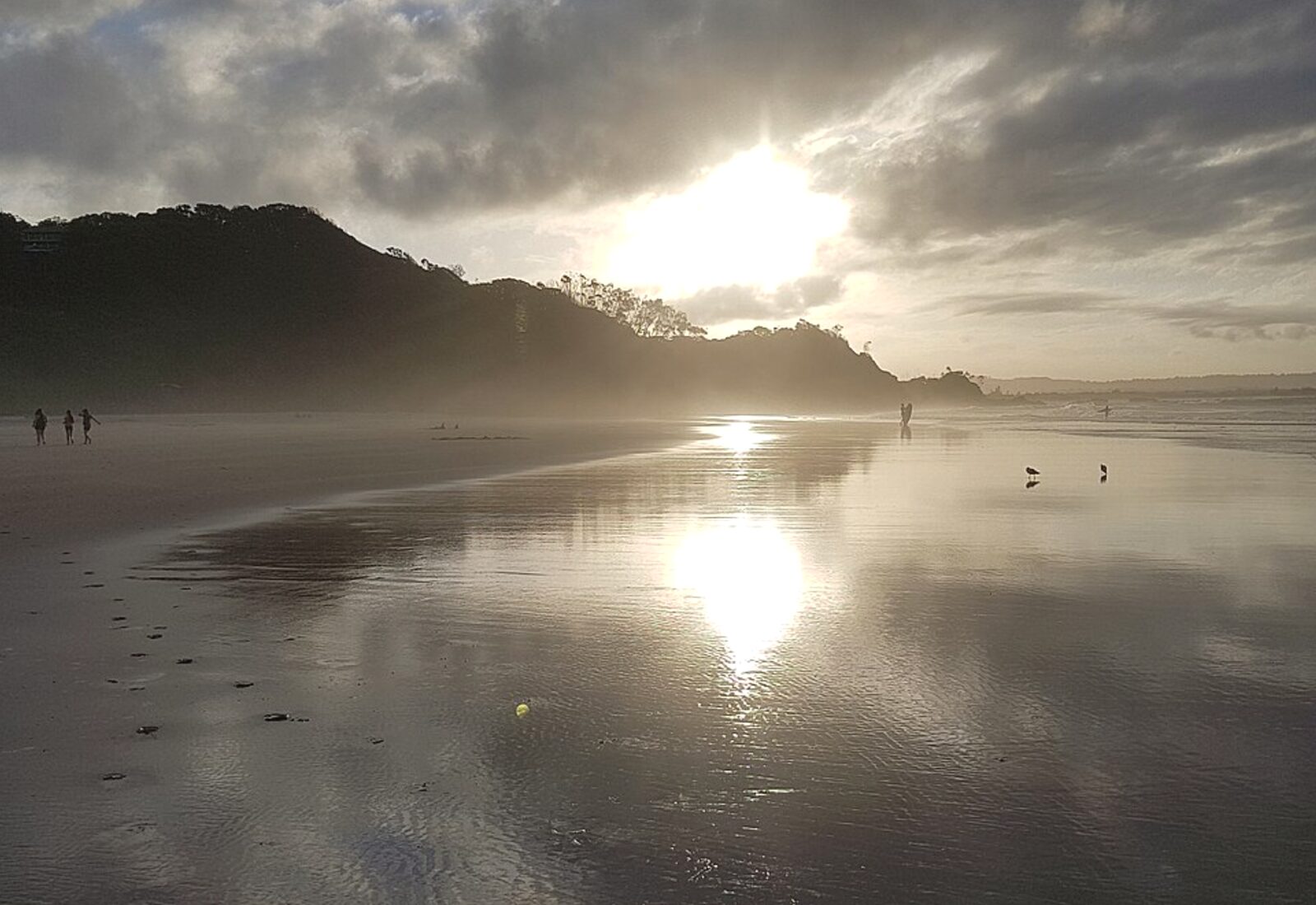
Main Beach sits at the end of Jonson Street — a flat walk of a few minutes from the residence, patrolled in season and gentle enough for a first swim of the day.
Follow the sand east and the shoreline turns into Clarkes Beach and then The Pass, where the point break wraps around Cape Byron and the water often sits calmer than out front of town.
West of the breakwater, Belongil runs long and quiet; south past the Cape, Tallow Beach stretches for kilometres with almost no one on it.
Surf conditions and patrol flags change daily. Swim between the flags, and check Beachsafe or the local surf club before heading in.
- Main Beach
- About 5 minutes on foot
- The Pass
- About 25 minutes along the sand
- Tallow Beach
- Short drive from the underground parking
The town
Jonson Street, the lanes and the morning ritual
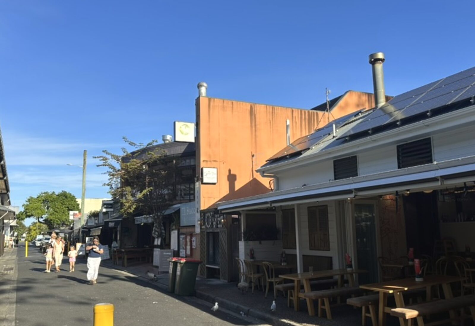
Aurelia sits inside the Jonson Lane precinct, so the day usually starts downstairs: coffee, a bakery counter, then the lanes that thread between Jonson, Fletcher and Lawson Streets.
The centre of Byron is compact — roughly a ten-minute walk end to end. That means you can leave the car underground for the whole stay and still reach dinner, a bookshop, a wine bar and the beach on foot.
Evenings are easy: eat in the precinct, or carry something home from a deli and set the eight-seat balcony table instead.
Byron's farmers market runs in town on Thursday mornings, with nearby village markets on other days of the week — worth checking dates before you arrive.
- Getting around
- Central Byron is walkable end to end
- At your address
- Bars, restaurants, yoga, retail, car hire
- Quiet hours
- 10pm–7am in the building
Cape Byron
The lighthouse walk and Australia's most easterly point
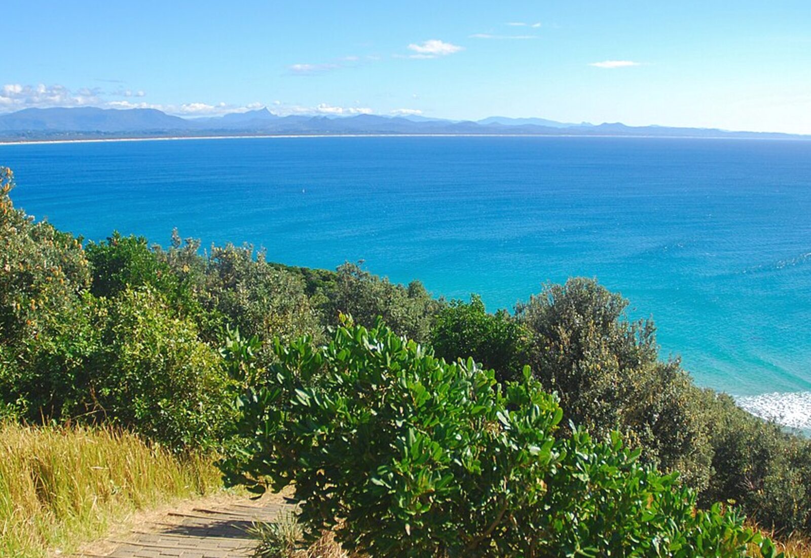
The Cape Byron walking track is the signature morning here: a loop of roughly 3.7 kilometres from The Pass up through littoral rainforest to the lighthouse, with stairs and steep sections along the way.
The eastern-most point of the Australian mainland is marked partway around, and the lookouts on the ocean side are where you are most likely to see dolphins below.
Humpbacks pass the Cape on their annual migration, generally between June and November, and can often be watched from the headland without a boat.
Go early. The light is better, the track is cooler, and parking at the lighthouse fills quickly later in the morning.
- Loop
- About 3.7 km, stairs and hills
- Best time
- Sunrise or late afternoon
- Whales
- Typically June to November
Inland
Bangalow, the hinterland and the green back roads
Ten minutes inland the landscape changes completely: macadamia rows, rainforest gullies and ridge roads that look out over the caldera.
Bangalow is the easiest first stop — a single main street of restaurants, antiques and produce, about a fifteen-minute drive from the residence.
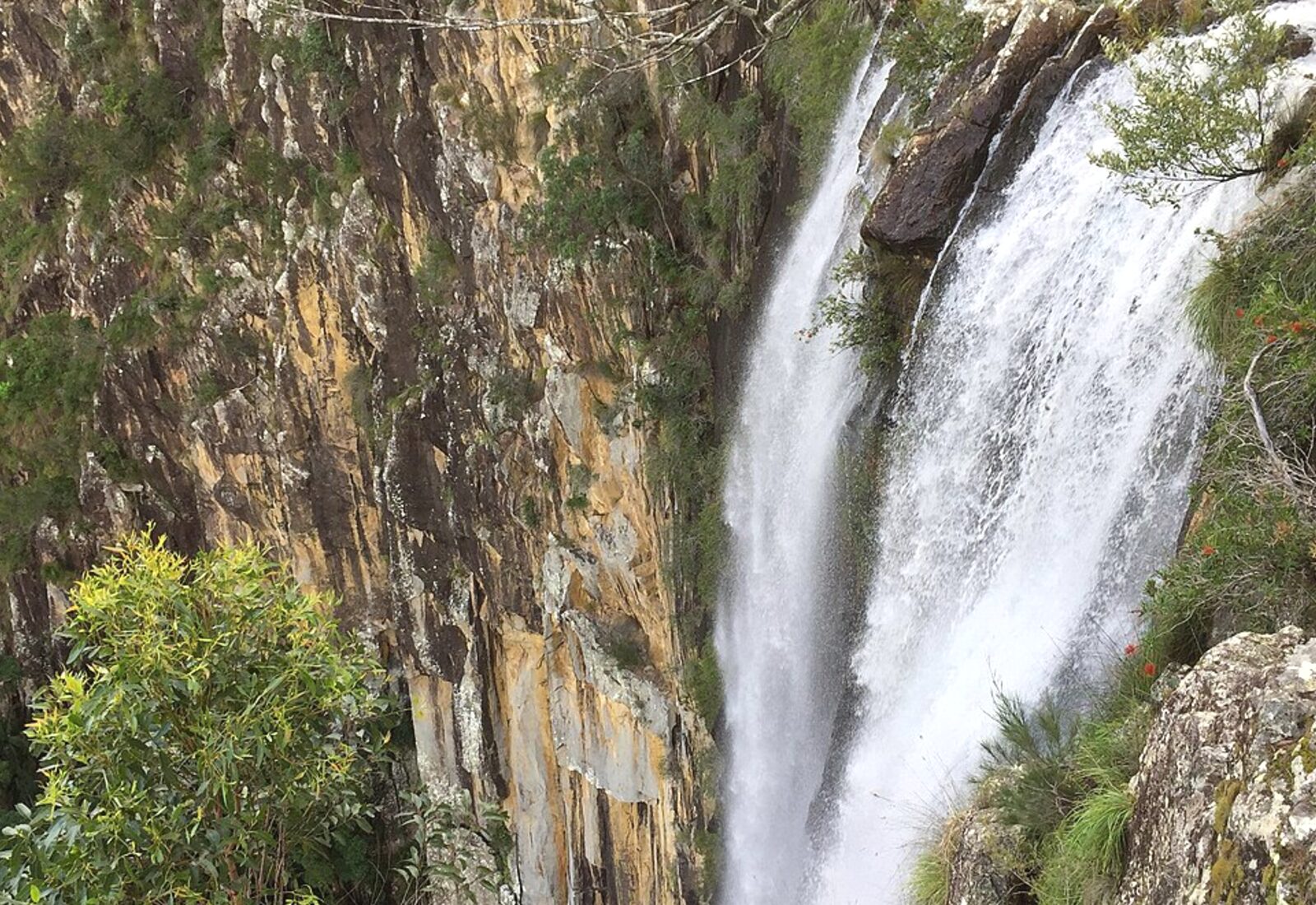
Further west, Federal, Newrybar and the roads towards Nimbin and Minyon Falls make a comfortable half-day loop with your own car.
On-site car hire in the Jonson Lane precinct means you can do this without bringing a vehicle for the whole stay.
- Bangalow
- About 15 minutes by car
- Hinterland loop
- Half a day, unhurried
- Parking
- Two underground spaces at Aurelia
Arriving
Getting here
Ballina Byron Gateway Airport (BNK)
The closest airport, roughly a 30-minute drive south. Domestic services from Sydney and Melbourne.
Gold Coast Airport (OOL)
Around an hour north by car, with the widest choice of domestic flights and some international services.
Brisbane Airport (BNE)
About two hours and fifteen minutes by road — the broadest network if you are flying long-haul.
By car
Arrive at Jonson Lane, 139 Jonson St and park in one of two underground spaces, then take the lift to your floor.
Drive times are approximate and depend on traffic and conditions.
Through the year
When to come
December – February
Summer
Warm and humid, long evenings, the busiest weeks of the year in town. Air conditioning inside, rooftop terrace above.
March – May
Autumn
Settled, warm water and thinner crowds — many locals' favourite stretch for swimming and walking.
June – August
Winter
Mild, dry days and clear light. Whale migration begins, and the lighthouse walk is at its most comfortable.
September – November
Spring
Warming up, whales still passing, hinterland green after the cooler months.
Your stay
Plan your days, then check your dates
Use the stay planner to shape a day-by-day rhythm from the residence, or go straight to availability.
Secure booking via Beach Houses of Byron.